")
")
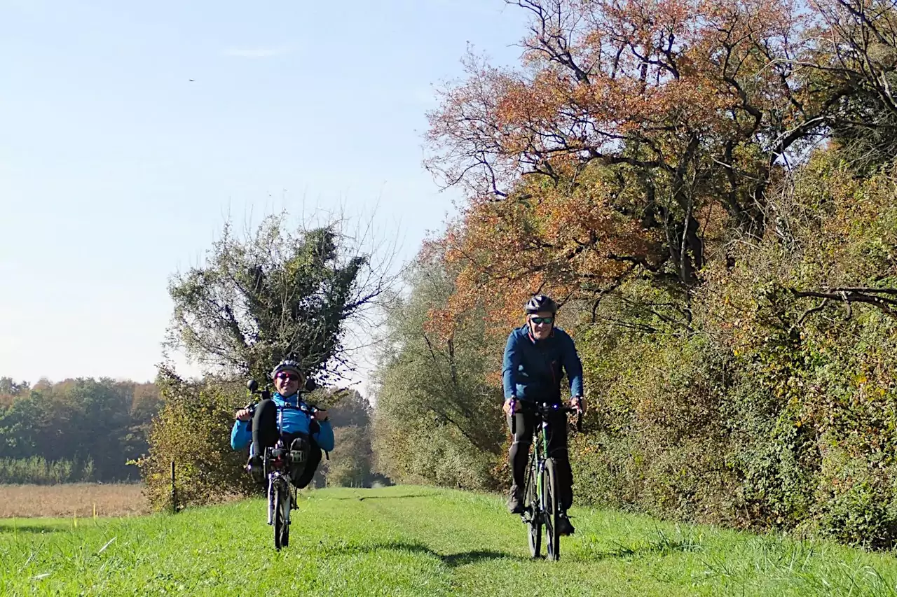
The first part of the Italian route of the Alpe Adria Cycle Route crosses the Alps almost entirely following the route of the old Pontebbana railway, which for some years has been transformed into a spectacular cycle path and marked with the initials FVG 1. From the state border, the cycle route continues uphill, overcoming the town of Tarvisio until you reach the Sella di Camporosso. From here the cycle path almost always continues downhill following the course of the Fella river. You cycle through a valley dotted with delightful alpine villages until you reach Pontebba, which for centuries represented the border between Italy and Austria.

Immediately after Pontebba begins what is perhaps the most spectacular stretch of the entire Alpe Adria cycle route: the cycle path runs through the narrow valley carved by the Fella river, passing over dozens of bridges, viaducts and tunnels built in the late 1800s. Unfortunately, this spectacular cycle path stops abruptly at Moggio Udinese. From here you have to cycle for about ten kilometers along the busy state road to the wonderful medieval village of Venzone.

From Venzone you can reach the outskirts of Gemona by cycling on some sections of the old Pontebbana railway. Beyond Osoppo, the cycle path crosses the Tagliamento River Natural Park and continues towards the town of Buja. If up to here the territory is flat, the stretch in front of us foresees to overcome some climbs: to get to Udine we have to overcome the three circles of morainic hills left by the Tagliamento glacier during the last glacial period. Finally, we enter Udine, the capital city of Friuli characterized by a beautiful historic center.

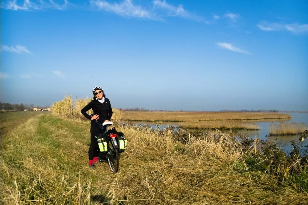
In the last stage you cross the plain to reach the lagoon and the Adriatic Sea. The route runs along secondary roads and some cycle paths passing through numerous agricultural villages often characterized by elegant Venetian villas. During the ride you will cross the fortified city of Palmanova, the castles of Strassoldo and Aquileia, an ancient Roman city and for many centuries the seat of the Patriarchate. The last stretch of the route that leads to the island of Grado is spectacular as the cycle path crosses the lagoon on an embankment.
The Alpe Adria Cycle Route starts from the train station of the picturesque alpine village of Mallnitz, one of the gateways to the wonderful Hohe Tauern Nature Park. From this delightful alpine village a very long and panoramic downhill will make us descend quickly towards the bottom of the valley offering us spectacular views of the surrounding mountains.

In Obervellach we meet the cycle path that runs along the river Möll. The beautiful cycle path (tabulated as R8 - Glockner Radweg) which does not always run along the river: the route often leads us along the slopes of the valley to discover the delightful alpine villages that characterize this area. At the end of this valley, near the town of Möllbrücke, we meet the river Drava and its famous cycle path (signposted as R1 - Drauradweg) which will make us quickly reach the delightful city of Spittal an der Drau.

Beyond Spittal, the Drava Cycle Path almost always continues along the river, which in this stretch winds through a wide, expertly cultivated valley. After passing a bottleneck in the valley you arrive in Villach, one of the most important Austrian cities characterized by an elegant historic center.

Just outside the city we leave the Drava cycle path to go up the river Gail, pedaling on the Gail river cycle path that after a few kilometers we leave to follow the signs of the R3C cycle path (Tarviser Radweg). After the village of Arnoldstein the slope of the cycle path becomes more marked but still pedalable and in a few kilometers you reach the Italian border at the Coccau pass.
The track in detail:
Coming soon
The Alpe Adria cycle route starts in the wonderful city of Salzburg and more precisely in the square dedicated to the composer Wolfgang Amadeus Mozart (Mozartplatz). The cycle route heads south along the Salzach river following the route of the Tauern cycle path (Tauernradweg).

After a few tens of kilometers we arrive in front of the imposing alpine massifs that seem to prevent us from continuing. Instead, the Salzach river has carved out a suggestive one that after a few kilometers opens into a gentle valley dominated by the Hohenwerfen fortress. Beyond the medieval village of Werfen you will almost always cycle flat on cycle paths that run close to the river.

Arrived in the village of Schwarzach im Pongau the cycle path along the river bank to climb on a panoramic plateau which after a few ups and downs bends sharply to the left leaving the valley of the Salzach river and entering that of the Gasteiner stream.

Now we pedal in the wonderful Gastein valley: the cycle path runs through green meadows surrounded by high mountains with peaks covered by glaciers and characteristic alpine villages. Going up the valley, you will find the village of Bad Hofgastein and the town of Bad Gastein, preceded by a short but steep climb. The two locations are famous spas with important palaces and luxurious hotels, frequented in the past by the nobility and the emperor of Austria.

The last stretch of the cycle path continues uphill to the end of the valley, barred by the imposing mountains that make up the main chain of the High Tauern. The road ends at the Böckstein railway terminal where cyclists and bicycles can get on the train that will take them in a few minutes to Mallnitz, Carinthia, on the other side of the mountain, thanks to the Tauern Railway Tunnel (Tauerntunnel).
The stages in detail:

This nice cycling route starts in Lignano Sabbiadoro (where it connects with the cycle network of Veneto) and basically follows the coastline until it reaches the city of Trieste and Slovenia (Valico di Rabuiese). This cycle path has recently changed its name in "Adriabike".

In the village of Cervignano del Friuli the Adriatic Sea Bike Path meets the Alpe Adria Cycle Path: the two routes share the path up to the town of Grado.

Other long-distance cycle paths overlap on the Adriatic Sea Bike Path (trail sign FVG 2): EuroVelo 8 (the "Mediterranean Route" that connects Spain to Greece and Cyprus), BicItalia 6 (the "Adriatic Cycle Path" that joins Trieste and Leuca in Puglia), the longer "AdriaBike project" (which connects the Slovenian town of Kranjska Gora to Ravenna) and, as already mentioned, the Alpe Adria cycle route (FVG 1).

Currently the FVG 2 cycle path is not completely tabulated. There are no signposts in the municipality of Lignano Sabbiadoro and in the stretch between Precenicco and San Giorgio di Nogaro. Even from Duino to Trieste the trail markers have not yet been placed.
Other sections have been built but the signposts refer to local cycling routes without ever mentioning the FVG 2 (such as the section between Cervignano del Friuli and Grado which is officially signposted only with the FVG 1 trail signs (Ciclovia Alpe Adria).
The stretch of cycle path that connects Lignano Sabbiadoro to Precenicco has recently been completed with some truly suggestive passages on the lagoon bank.

The Pedemontana and Collio cycle path runs at the foot of theAlps connecting the town of Gorizia with the village of Caneva, on the border with Veneto region. We start riding from Gorizia, a border town from which some cycling itineraries depart that enter the Slovenian territory, continuing to pedal towards the Veneto through some centers of considerable historical and tourist importance: among these I mention Cormons, Cividale del Friuli, Gemona del Friuli , Maniago, Aviano and Polcenigo.

The first part of the route, from Gorizia to Cormons, is quite confused: there are no signposts either in Gorizia or in Cormons while in the intermediate area (Preval area) and in the valley that goes up the Judrio stream, almost every secondary road is marked with a sign bearing the initials "FVG 3". This is a pity as the hilly area in question is so beautiful; no coincidence this area is often compared to the famous landscapes of Tuscany.

Beyond Cormons, once you enter the province of Udine, the cycle path is well signed (although many signs are discolored) and allow you to reach Cividale del Friuli, a UNESCO heritage city, crossing the beautiful countryside of the Friuli plain and with beautiful views of the gorge. of the Natisone river. In Cividale the Pedemontana and Collio Cycle Path crosses the Friulian Plain Cycle Path (FVG 4).

There is no reference to the FVG 3 cycle path in the stretch that, beyond the municipal territory of Cividale, should head towards Gemona del Friuli. There is no trace of signs in the municipalities of Povoletto, Nimis and Tarcento. In Artegna, the FVG 3 signs have recently been placed on the new cycle path built on a section of the former Pontebbana railway but this cycle path ends at the railway bridge over the Orvenco stream and from here it is possible to continue towards Gemona following some local cycle paths.

From Gemona, right in correspondence with our Alpe Adria cycle path (FVG 1), the official signposting that leads to Trasaghis finally begins, crossing the Tagliamento on the famous “Ponte di Braulins”. We then proceed on the panoramic "Strada di Bottecchia" which takes cyclists to the enchanted Cornino lake with its griffins.

Once we have entered the province of Pordenone in Pinzano, we start pedaling on the historic part of the cycle path, fully tabulated. The route is very beautiful and evocative: running along cycle paths and secondary roads, it proceeds through woods, meadows and countryside. You will pass through characteristic villages such as Travesio, Maniago, Montereale in Valcellina, Aviano and Polcenigo where the Livenza cycle path (FVG 7) begins.

The Pedemontana cycle path ends in the municipality of Caneva, at Villa di Villa, where the connection with the cycling network of the Veneto region is foreseen.

Finally, I would like to point out the official website of the Pedemontana and Collio Cycle Path where you will find more information and updates on this suggestive cycle path: http://ciclabilefvg3.altervista.org/